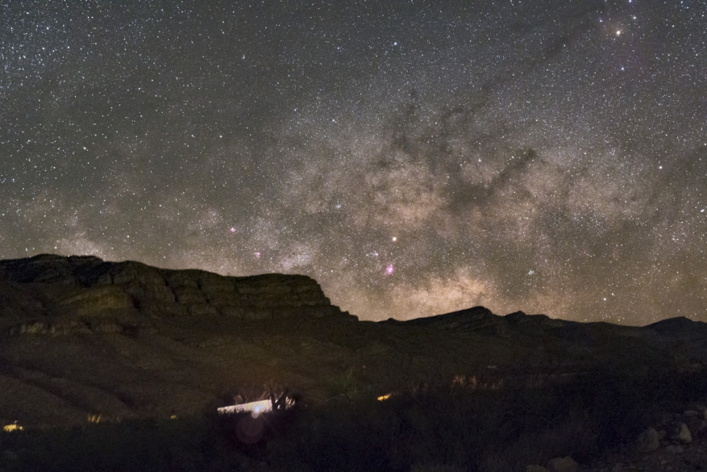
Texas: Big Bend National Park
Established as a national park in June of 1935, Big Bend National Park comprises 1,252 square miles of land in the southwestern part of Texas along the Texas-Mexico border. This area, larger than the state of Rhode Island, preserves the largest tracts of Chihuahuan Desert topography and ecology in the United States. Within Big Bend National Park are numerous geographical contrasts. These include the vegetation belts along the Rio Grande, the sparseness of the Chihuahuan Desert, the peaks of the Chisos Mountains, and the limestone outcrops of Persimmon Gap and Boquillas Canyon. (Adapted from nationalparks.org)
Project description
At an altitude of 5,400 ft., I camped with my friends at the Chisos Basin Campground which is surrounded on all sides by tall, rocky cliffs and the park’s most spectacular peak, Casa Grande. Many composition opportunities were within walking distance from this campsite, which was convenient since this is a large park. With a Bortle scale of 1-2, it offers a dark and pristine night sky in the United States. My most supernal moment of this trip was shooting at Ernst Tinaja, a breathtaking waterhole in the limestone floor. On the flip side, the adrenaline rush peaked when Stan and I hiked more than an hour (one way) at night to shoot close to Mule Ears. Huge thanks to Stan Honda and Rush Dudley for organizing this trip!
Pictures